From: Reviewing a Lifetime (A Psychotherapist's Nightmare),
Chapter 5, First Recollections


Text Copyright©2021 by Daniel B. Sedory, Editor. All Rights Reserved.


    These are Plate Numbers "12295" and "12296," taken by an employee of the MWRDGC ("The Sanitary District of Chicago" at that time) on November 13, 1925 of the property and school house (known only as "North Stickney School" at that time) on Lots # 19 and # 20. They were located at the south west corner of 41st Street and Cyler Avenue (also known as 63rd Court). These two lots were purchased from "School District No. 110" by the SDC (or Sanitary District) on January 21, 1926 (see BLUE squares with 19 and 20 on our Lot Number Map here).

These two lots are noted on page 57 of the 1926 Proceedings... as:
"(n) Lot nineteen (19) and Lot twenty (20) — to be purchased from the Trustees of Schools of Township No. 38, North, Range 13, east of the third Principal Meridian, for use of School District No. 110 in Cook County, State of Illinois, $4,000 to be paid for said lots and $25,000 for the improvements thereon consisting of a 1-story and basement brick and frame school and a frame storage shed — a total of $29,000."

RETURN to Chapter 5.


        This photo, of Plate Number 12295, is used by permission of the copyright holder, the Metropolitan Water Reclamation District of Greater Chicago (or MWRDGC) and cannot be displayed anywhere without their official permission:

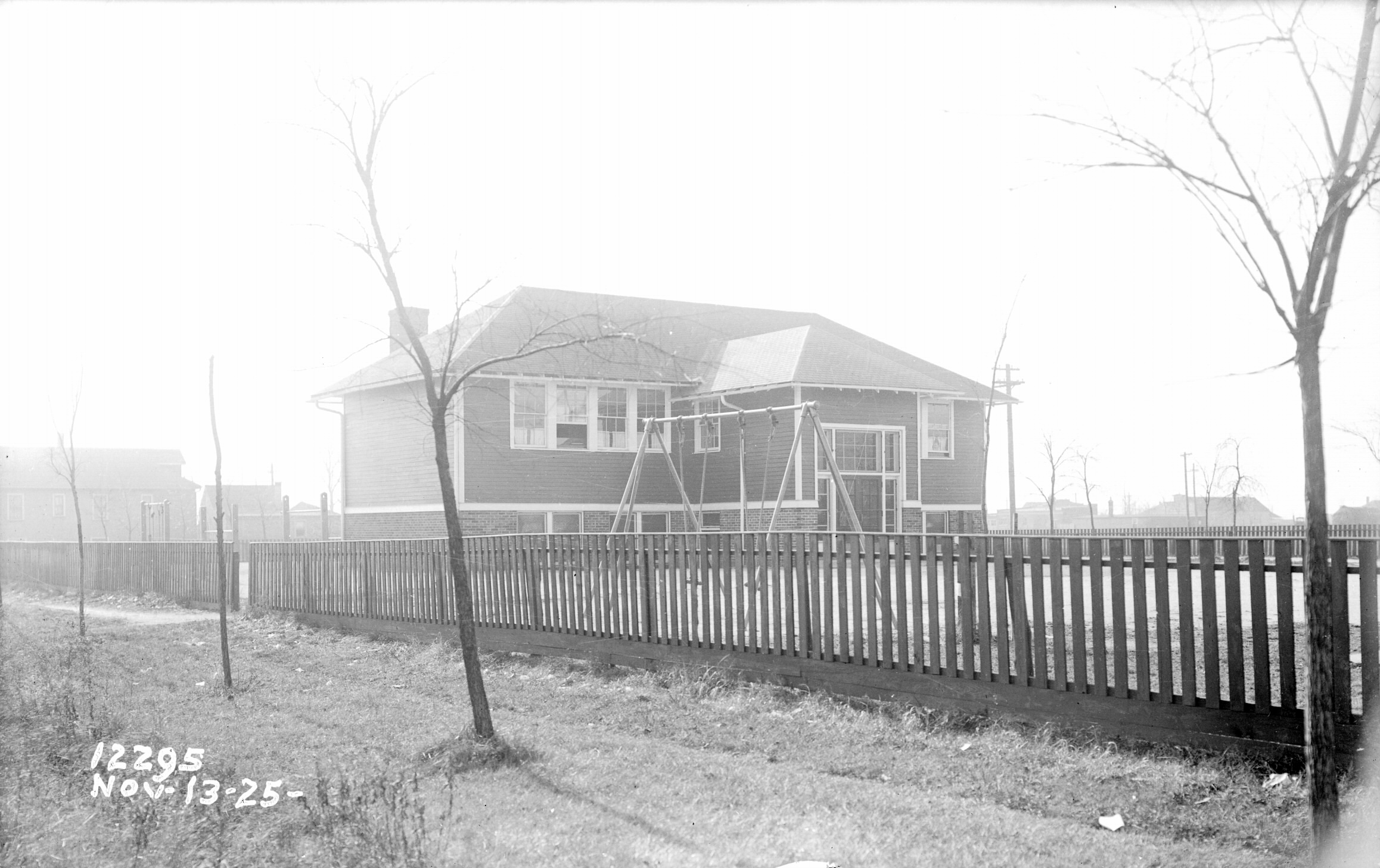
  This photo was taken from near the corner of Cyler Ave and 41st Street facing SW (south west), so looking towards current day Stickney. You can see some houses at the right, in the background, that may still exist today.
  Notice that the swings are attached with ropes (not chains) tied to what are likely leather straps around the pole at the top. At the left, you can see a
  bar on two posts, the set closest to the fence, that appears to have two swings on it as well. The other bars; which could be set to varying heights
  (notice the holes in the posts) were likely for doing pull-ups. At the end of the fenced-in lot you can see quite a large house on 
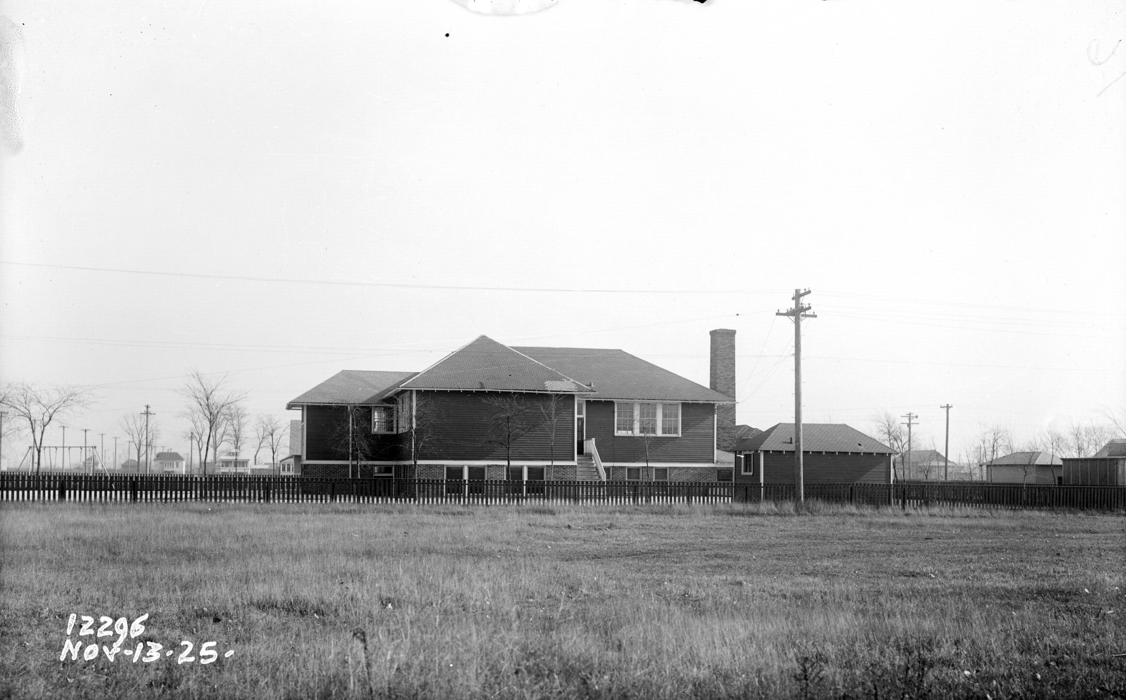
Lot # 21 as well as a
  smaller one at the rear corner of that lot (Lots #1 through #4, on the other side of the alley, did not have any houses on them).


        This photo, of Plate Number 12296, is used by permission of the copyright holder, the Metropolitan Water Reclamation District of Greater Chicago (or MWRDGC) and cannot be displayed anywhere without their official permission:

  This is by far one of the best photos of the North Stickney School and its surroundings. Look at that large, all brick, chimney it had for its heating
  plant. And cables dropping down from that utility pole (with climbing rungs) in the alley are obviously connected to those 3 dark spots at the corner of
  the building. The school’s storage building is clearly in view, and a secondary exit and its staircase. Apparently a bit of roof repair too.  At the left (just
  beyond the school’s swing set), you can see more than a dozen utility poles running along the south side of 41st Street, and houses both north and
  south of it in the far distance.   The photographer was facing directly east, towards the same two houses on Lot # 61 as can be seen in his photo here.
  Now look carefully just to the left of the school building: You can see two and a half porch windows of the same house on Lot # 42 in that other photo.
  And between that house and the school is the edge of another house that was on Lot # 21.   The field in the foreground was part of lots #1 and #2,
  and the camera would have been standing near or at the side of Ridgeland Ave.   The house behind the two utility poles at the right is on Lot # 24.


TOC